EarthConsole® Stories: Improving Discharge Estimation in Rivers of Mediterranean Countries
EarthConsole® Stories are experiences about how we helped universities, research centres or service developers to leverage Earth Observation data to extract valuable insights for their research, educational or pre-commercial projects.
The Project
The DEMETRAS initiative, part of the broader ESA 4DMED-Hydrology project, aims to deliver more accurate and timely insights into river discharge in Mediterranean countries. By leveraging both satellite altimetry and optical data, the project aims at improving how water flow is measured and monitored in the region.
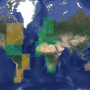
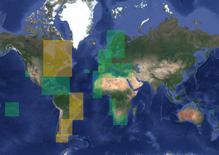
4DMED-Hydrology focuses on developing an advanced reconstruction of the Mediterranean terrestrial water cycle with high resolution and consistency. It does so using cutting-edge Earth Observation (EO) data from ESA Copernicus missions. The project targets four key river basins — the Po in Italy, Ebro in Spain, Hérault in France, and Medjerda in Tunisia — each selected for their diverse climates, landscapes, land uses, and vulnerability to water-related hazards.
The Need
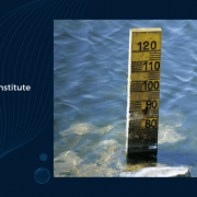
To improve the accuracy of river discharge estimates, the DEMETRAS research team needed advanced tools for processing Earth Observation data. The team aimed to track water levels along rivers over time by using measurements taken at various locations by different satellites on different orbits. This approach would allow to build reliable time series of how river levels rise and fall, which is essential for understanding water resources.
A key challenge was monitoring water levels in narrow rivers, that are typically difficult to capture using standard satellite measurements. To address this, the research team sought to apply Fully-Focused Synthetic Aperture Radar (FF-SAR) techniques within altimetry missions, which can deliver precise measurements for rivers only a few tens of meters wide.
Why EarthConsole®
To meet these needs, the DEMETRAS team chose the ARESYS Fully-Focused SAR processor, available through the Altimetry Virtual Lab on EarthConsole®. With it, they could process Sentinel-3 data in fully-focused SAR mode across multiple years (2016 to 2022) in Northern Italy and assess the value of this advanced processing technique within the project’s framework.
The processed datasets proved useful to overcome the challenges of our research. Leveraging the ARESYS Fully-Focused SAR processor through EarthConsole® allowed us to conduct bulk processing of a long-term Sentinel-3 dataset spanning 2016–2022, which was managed by the EarthConsole® operators. This relieved the project team from the complexities of processing chain setup and infrastructure management, so we could just focus on the science and analysing the results.
Christian Massari, Academic Researcher, CNR-IRPI – Italy
The Impact
The DEMETRAS project is set to make a strong contribution to both the scientific community and stakeholders across the Mediterranean. By delivering more accurate and temporally detailed water level data, it will strengthen the reliability of hydrological models that support water resource planning and flood risk assessment.
Additionally, the project’s results are being shared openly through platforms like Zenodo, ensuring that researchers, policy-makers, and practitioners across the region can benefit. This knowledge sharing will help communities better understand and respond to the water-related challenges they face.
This project has been supported via the ESA Network of Resources initiative.