
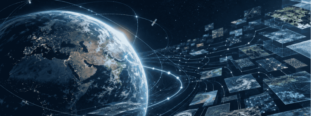
So much Earth Observation data, so hard to choose
The people we have been working with most closely are researchers: scientists who use Earth Observation data professionally, some for their entire careers. If anyone should feel at home navigating this domain, it is them.
Yet the difficulty they have been describing to us, more and more often, has nothing to do with a lack of data or a lack of skill. It comes down to orientation: knowing which of the many satellite missions carries the measurement they need, on which platform it lives, in what format, under what conditions. The information exists. Finding it has turned into a task of its own.
That tells the rest of us something. If people who work with Earth Observation data every day find this hard, imagine someone approaching satellite data for the first time, with no idea where to start. So when a company or a public administration looks at this world and feels lost, that is not a sign of falling behind. It is an accurate read of how complicated the Earth Observation data landscape has gotten.
The Earth Observation data landscape really has grown
A few numbers, so this doesn’t stay just an impression.
According to the 2024 edition of the Earth Observation Satellite Systems report by Novaspace, a space-sector market intelligence firm, around 1,900 Earth Observation satellites were launched in the decade to 2023, and the forecast for the following decade (2024 – 2033) is roughly 5,400, nearly three times as many. Each new satellite mission brings its own instruments, its own data products and archives, and usually its own way of accessing them.
Access to satellite data itself has opened up a lot, at least in Europe. Most of the data and information produced by Copernicus, the EU’s Earth Observation programme, is available to anyone in the world, free of charge and without restriction. Since June 2024, European rules also require public bodies to publish key categories of geospatial data, from environmental to meteorological and mobility data, at no cost and in machine-readable formats.
All of this adds real value to the Earth Observation ecosystem. It also adds one more door to keep track of.
What all those doors lead to
Behind those doors sits a surprising amount of possibility, and a lot of it costs nothing to access.
A municipality can use Earth Observation data to track how heat builds up across its streets and plan green spaces accordingly. A farm can use satellite data to catch water stress in a field before it shows to the eye. Someone monitoring railway infrastructure can use remote sensing to pick up ground movement of a few millimetres a year. None of this is hypothetical, it is what Earth Observation data already allows today.
Which is precisely why struggling to find your way through it matters. If there were little on offer, getting lost wouldn’t cost much. The more this landscape has to give, the more expensive it gets to not know how to navigate it.
How the industry is tackling satellite data fragmentation
The organisations that produce and manage Earth Observation data see the same problem, and several are trying to do something about it.
In Europe, the clearest example is the Copernicus Data Space Ecosystem, launched in 2023 as the official gateway to Copernicus satellite data. One place to search, view, download and process satellite data, replacing a handful of earlier access points, now hosting tens of petabytes of data for a community of hundreds of thousands of registered users.
ESA is pursuing a different route toward the same goal. Its Common Architecture initiative, known in the sector by its technical name EOEPCA+, starts from much the same observation as this article: that the ecosystem of Earth Observation platforms has become fragmented, leaving users with too much to evaluate on their own. Instead of gathering everything under one roof, the initiative works on shared technical standards, developed together with the sector’s main standards body (the Open Geospatial Consortium), so that tools and platforms built by different providers can still work together instead of locking users into one system.
Why navigating satellite data matters as much as having it
Put the growth of the landscape and these efforts to organise it side by side, and a pattern emerges: access to satellite data is no longer the main obstacle, at least not for most of what this article has described. What makes the difference is the ability to navigate it well, to connect one specific question to the right sources out of thousands.
What should that navigation look like, going forward? A single gateway is one answer. Common standards are another. Someone who deeply knows the Earth Observation terrain and can guide you through it might be a third. It will probably take some mix of all of them. In the meantime, we’re curious to hear, where do you get lost in the Earth Observation data domain?
This article is part of EOReach, an initiative by Progressive Systems to bring Earth Observation data, tools and knowledge into any application domain. If you are interested in exploring how EO data can support your domain, you can contact us at info@earthconsole.eu.
Sources
- EO sector growth Novaspace, July 2024 report https://nova.space/press-release/earth-observation-satellites-set-to-triple-over-the-next-decade/
- Copernicus data policy Copernicus https://www.copernicus.eu/en/access-data
- EU high-value datasets regulation https://digital-strategy.ec.europa.eu/en/news/commission-defines-high-value-datasets-be-made-available-re-use
- Copernicus Data Space Ecosystem https://dataspace.copernicus.eu https://www.copernicus.eu/en/news/news/observer-easier-access-sentinel-data-thanks-new-copernicus-data-space-ecosystem
- ESA Common Architecture https://eo4society.esa.int/common-architecture/ https://eoepca.org
- Open Geospatial Consortium https://www.ogc.org

 CREDIT: contains modified Copernicus Sentinel data (2026), processed by ESA.
 Credit ESA/ATG medialab